


NORTHWOOD B Voting District, Wood County, Ohio
About
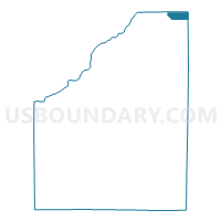
Outline

Summary
| Unique Area Identifier | 653399 |
| Name | NORTHWOOD B Voting District |
| County | Wood County |
| State | Ohio |
| Area (square miles) | 2.98 |
| Land Area (square miles) | 2.98 |
| Water Area (square miles) | 0.00 |
| % of Land Area | 100.00 |
| % of Water Area | 0.00 |
| Latitude of the Internal Point | 41.60925200 |
| Longtitude of the Internal Point | -83.44449490 |
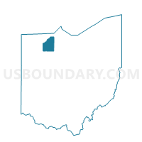
Maps

Graphs
Select a template below for downloading or customizing gragh for NORTHWOOD B Voting District, Wood County, Ohio


Neighbors
Neighoring Voting District (by Name) Neighboring Voting District on the Map
- 010 ALLEN 2, Ottawa County, OH
- 012 ALLEN 4, Ottawa County, OH
- LAKE TWP EAST Voting District, Wood County, OH
- LAKE TWP NORTH Voting District, Wood County, OH
- NORTHWOOD A Voting District, Wood County, OH
Top 10 Neighboring County Subdivision (by Population) Neighboring County Subdivision on the Map
- Lake township, Wood County, OH (10,972)
- Northwood city, Wood County, OH (5,265)
- Allen township, Ottawa County, OH (3,780)
Top 10 Neighboring Place (by Population) Neighboring Place on the Map
Top 10 Neighboring Unified School District (by Population) Neighboring Unified School District on the Map
- Lake Local School District, OH (11,122)
- Genoa Area Local School District, OH (8,695)
- Northwood Local School District, OH (5,210)
Top 10 Neighboring State Legislative District Lower Chamber (by Population) Neighboring State Legislative District Lower Chamber on the Map
Top 10 Neighboring State Legislative District Upper Chamber (by Population) Neighboring State Legislative District Upper Chamber on the Map
Top 10 Neighboring 111th Congressional District (by Population) Neighboring 111th Congressional District on the Map
Top 10 Neighboring Census Tract (by Population) Neighboring Census Tract on the Map
- Census Tract 209, Wood County, OH (7,235)
- Census Tract 201, Wood County, OH (5,261)
- Census Tract 511, Ottawa County, OH (3,780)